MAIN SECTIONS: | Home page | Agritourism | History | Farming | About us |
How to reach Palazzolo?
It is easy to reach Palazzolo by different means, although for an easy stay it is good to have a car at your disposal.
Below you will find some useful information regarding the different means for reaching Palazzolo; in this page you will also find some links of the ways to travel to Palazzolo. In order to avoid problems when making your personal itinerary you can use your favourite route planner and for the use of a GPS navigator you can use coordinates given below.
- 42°56′22.18″ North
- 11°58′48.00″ East
Those arriving
- by car
- from the north should leave the A1 motorway at the Chiusi-Chianciano exit
- from the south should leave instead at the exit of Fabro.
- Both exits are about 15 km from Palazzolo.
Those arriving
- with train
- should leave it at the station of Chiusi‑Chianciano Terme on the Florence‑Rome line and then continue with a rental car or a taxi.
Those arriving
- by airplane
- the closest international airports from Palazzolo are:
- Florence (ca. 140 km),
- Rome Fiumicino (190km), Ciampino (171km)
- Pisa (239km),
- Bologna (238km),
- Perugia (62km) and
- Milan has two airports but three terminals: Malpensa 1 and Malpensa 2 (485km), and Linate (435km).
For more detailed information on how to reach Palazzolo you can consult the map on this page. The information is useful for the stay (local maps) as well as for the last part of your journey after having left the main A1 motorway (either in Chiusi or Fabro) or in case of train journey when you have arrived to the railway station of Chiusi‑Chianciano Terme.
- Maps as PDF-files:
- main road map
- roads close to Palazzolo
- City maps:
- Città della Pieve
- Chiusi Scalo
- Ponticelli
- Exit maps:
- Chiusi
- Fabro
A1 highway crossings and the roads close Palazzolo.
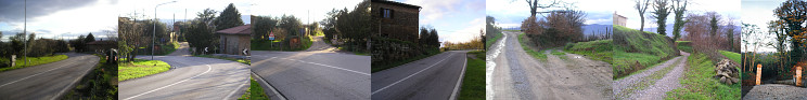
Hover on a thumbnail to enlarge the photo.
The
road from Ponticelli to Palazzolo.